

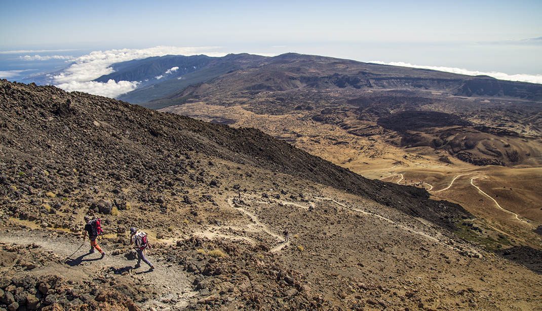
PR TF 41 Playa del Socorro - Pico Teide (Route 0.4.0)
PR-TF 41Yürüyüş
Bu iz, 2020'de büyük onarım çalışmasından sonra açılan, tek bir günde neredeyse 4 km tırmanan İspanya'daki en yüksek.
- Mesafe
- 27 km
- Zorluk
- Çok Zor
- Yükseklik Kazanımı
- 3862 m
- Maksimum İrtifa
- 3555 m
- Minimum İrtifa
- 14 m
- Belediye
- La Orotava, Los Realejos, San Juan de la Rambla
- Başlangıç
- Playa del Socorro
- Bitiş
- La Rambleta
- Tür
- 4
Koruma Alanı: Monumento Natural del Teide, Parque Nacional del Teide, Parque Natural de Corona Forestal, Paisaje Protegido de Campeches, Tigaiga y Ruiz
Rota verileri resmi Cabildo de Tenerife iz ağından.Tüm Tenerife Rotaları