

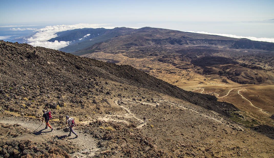
PR TF 41 Playa del Socorro - Pico Teide (Route 0.4.0)
PR-TF 41Piesze wycieczki
Ten szlak, otwarty w 2020 roku po dużych pracach renowacyjnych, jest najwyższym w Hiszpanii, wspinając się prawie 4 km w jeden dzień.
- Dystans
- 27 km
- Trudność
- Bardzo wysoka
- Przewyższenie
- 3862 m
- Wysokość maksymalna
- 3555 m
- Wysokość minimalna
- 14 m
- Gmina
- La Orotava, Los Realejos, San Juan de la Rambla
- Początek
- Playa del Socorro
- Koniec
- La Rambleta
- Typ
- 4
Obszar chroniony: Monumento Natural del Teide, Parque Nacional del Teide, Parque Natural de Corona Forestal, Paisaje Protegido de Campeches, Tigaiga y Ruiz
Dane szlaków z oficjalnej sieci szlaków Cabildo de Tenerife.Wszystkie szlaki Teneryfy