

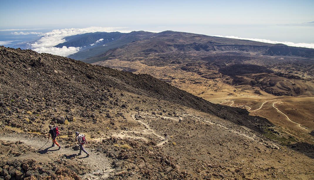
PR TF 41 Playa del Socorro - Pico Teide (Route 0.4.0)
PR-TF 41Hiking
This trail, inaugurated in 2020 after major restoration work, is the highest in Spain, climbing almost 4 km in a single day.
- Distance
- 27 km
- Difficulty
- Very High
- Elevation Gain
- 3862 m
- Max Altitude
- 3555 m
- Min Altitude
- 14 m
- Municipality
- La Orotava, Los Realejos, San Juan de la Rambla
- Start
- Playa del Socorro
- End
- La Rambleta
- Type
- 4
Protected area: Monumento Natural del Teide, Parque Nacional del Teide, Parque Natural de Corona Forestal, Paisaje Protegido de Campeches, Tigaiga y Ruiz
Route data from the official Cabildo de Tenerife trail network.All Tenerife Routes