

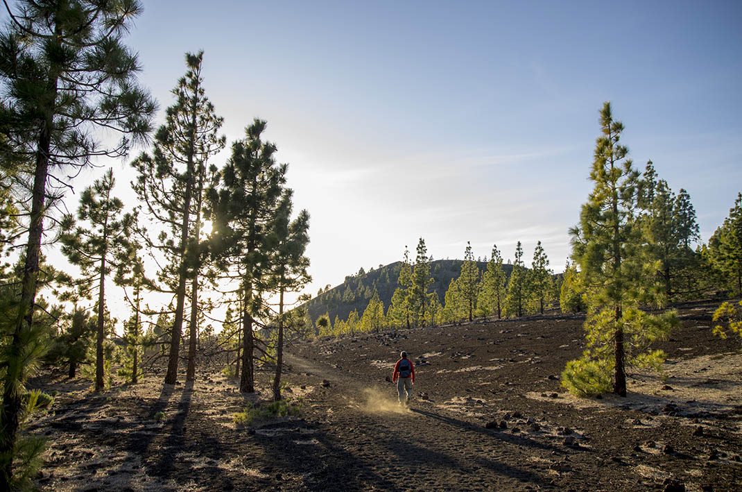
PNT 13 Sámara Loop Trail
PNT-13Hiking
This loop trail, which starts at the foot of the Sámara volcano, offers beautiful panoramic views of several volcanic cones.
- Distance
- 4.6 km
- Difficulty
- Low
- Elevation Gain
- 257 m
- Max Altitude
- 2101 m
- Min Altitude
- 1872 m
- Municipality
- Guía de Isora
- Start
- Km 7,5 de la carretera TF-38
- End
- Km 7,5 de la carretera TF-38
- Type
- 4
Protected area: Parque Nacional del Teide, Parque Natural de Corona Forestal
Route data from the official Cabildo de Tenerife trail network.All Tenerife Routes