

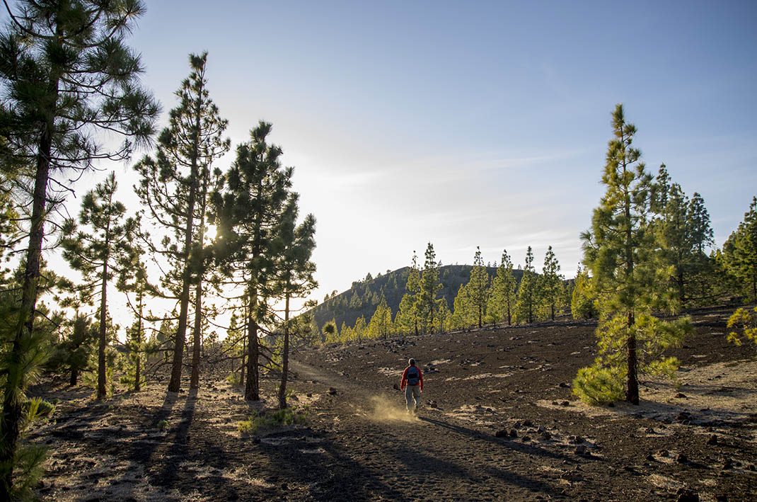
PNT 13 Sámara Loop Trail
PNT-13Piesze wycieczki
Ten szlak pętlowy, który zaczyna się u podnóża wulkanu Sámara, oferuje piękne panoramiczne widoki kilka stożków wulkanicznych.
- Dystans
- 4.6 km
- Trudność
- Niska
- Przewyższenie
- 257 m
- Wysokość maksymalna
- 2101 m
- Wysokość minimalna
- 1872 m
- Gmina
- Guía de Isora
- Początek
- Km 7,5 de la carretera TF-38
- Koniec
- Km 7,5 de la carretera TF-38
- Typ
- 4
Obszar chroniony: Parque Nacional del Teide, Parque Natural de Corona Forestal
Dane szlaków z oficjalnej sieci szlaków Cabildo de Tenerife.Wszystkie szlaki Teneryfy