

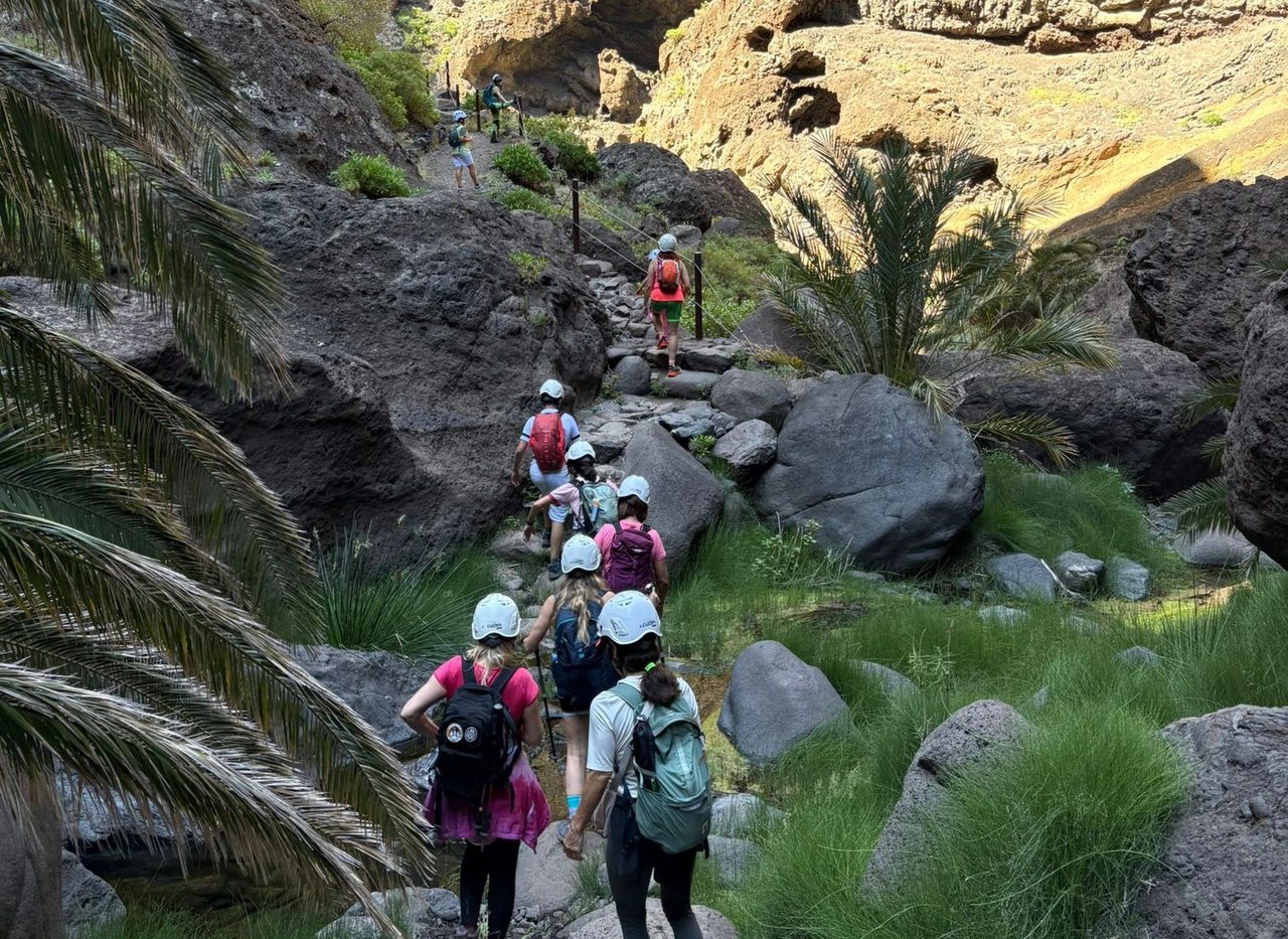
Masca Gorge Trail
PRT-06Hiking
- Distance
- 4.8 km
- Difficulty
- High
- Elevation Gain
- 939 m
- Max Altitude
- 620 m
- Min Altitude
- 2 m
- Municipality
- Buenavista del Norte
- Start
- Caserío de Masca
- End
- Playa de Masca
- Type
- 4
Protected area: Parque Rural de Teno
Route data from the official Cabildo de Tenerife trail network.All Tenerife Routes