

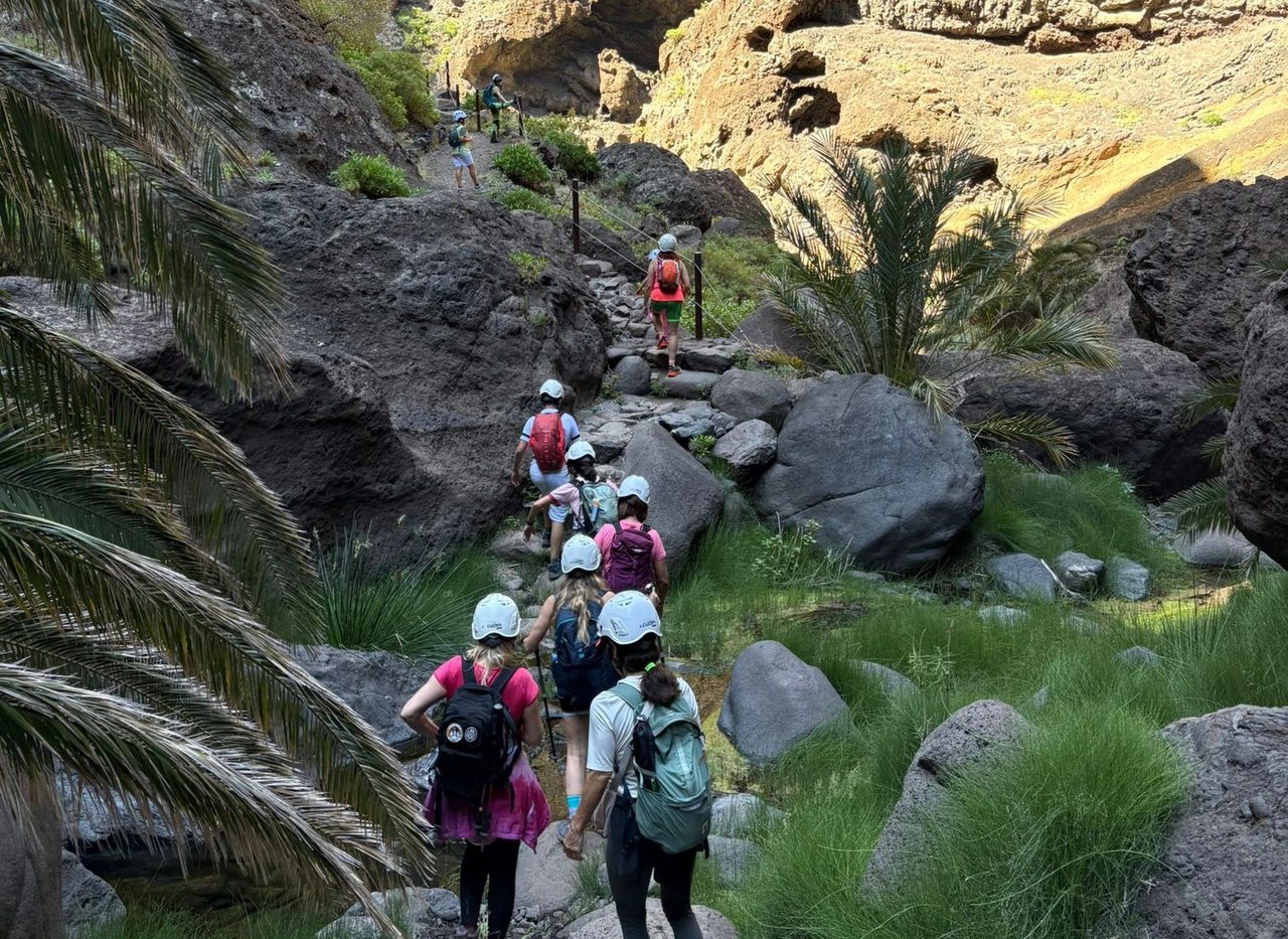
Masca Gorge Trail
PRT-06Piesze wycieczki
- Dystans
- 4.8 km
- Trudność
- Wysoka
- Przewyższenie
- 939 m
- Wysokość maksymalna
- 620 m
- Wysokość minimalna
- 2 m
- Gmina
- Buenavista del Norte
- Początek
- Caserío de Masca
- Koniec
- Playa de Masca
- Typ
- 4
Obszar chroniony: Parque Rural de Teno
Dane szlaków z oficjalnej sieci szlaków Cabildo de Tenerife.Wszystkie szlaki Teneryfy