

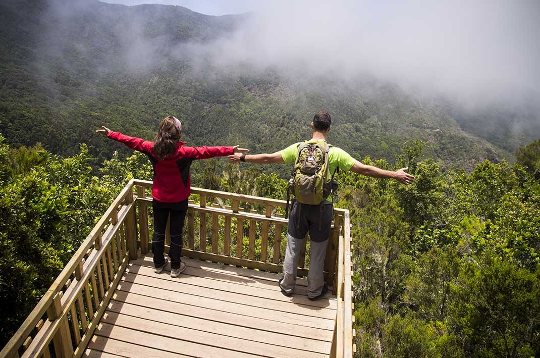
Erjos – Monte del Agua Self-guided Trail
PRT-18Hiking
- Distance
- 1.3 km
- Difficulty
- Low
- Elevation Gain
- 134 m
- Max Altitude
- 1042 m
- Min Altitude
- 981 m
- Municipality
- El Tanque,Los Silos
- Start
- Plaza Grande de Erjos, Avenida Simón Bolívar 1
- End
- Mirador Monte del Agua
- Type
- 4
Protected area: Parque Rural de Teno
Route data from the official Cabildo de Tenerife trail network.All Tenerife Routes