

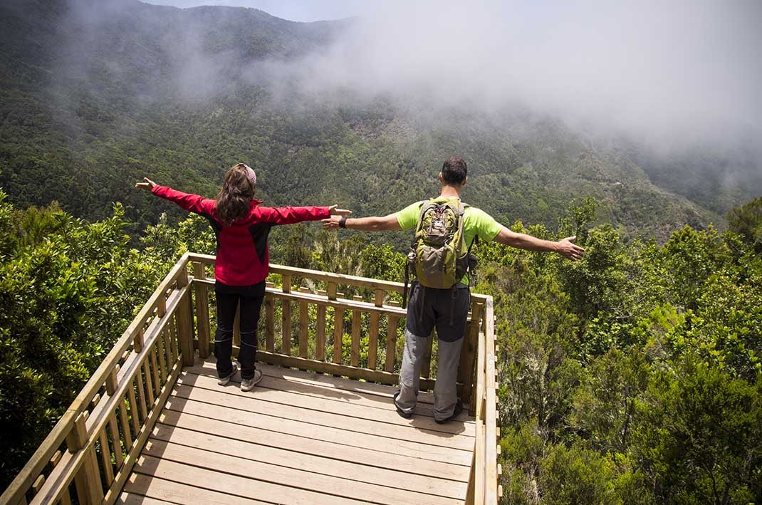
Erjos – Monte del Agua Self-guided Trail
PRT-18Piesze wycieczki
- Dystans
- 1.3 km
- Trudność
- Niska
- Przewyższenie
- 134 m
- Wysokość maksymalna
- 1042 m
- Wysokość minimalna
- 981 m
- Gmina
- El Tanque,Los Silos
- Początek
- Plaza Grande de Erjos, Avenida Simón Bolívar 1
- Koniec
- Mirador Monte del Agua
- Typ
- 4
Obszar chroniony: Parque Rural de Teno
Dane szlaków z oficjalnej sieci szlaków Cabildo de Tenerife.Wszystkie szlaki Teneryfy