

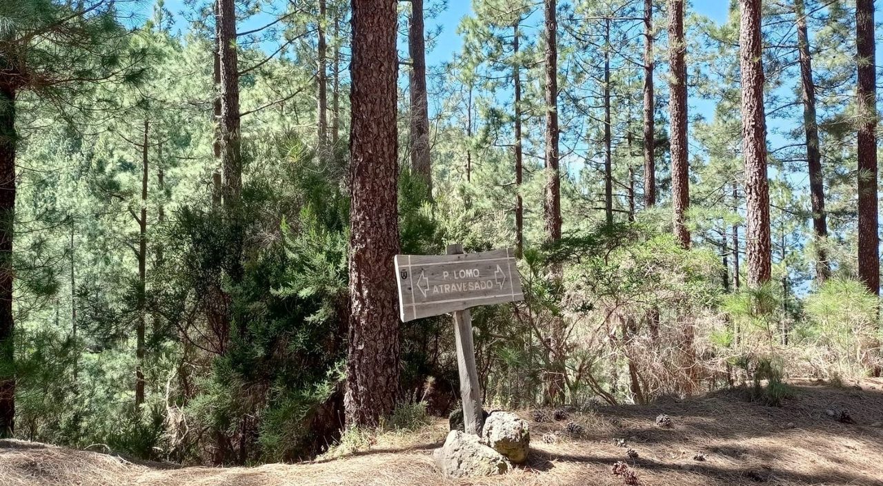
VM 2.1 Pista de Lomo Atravesado
VM-2.1Motor Vehicles
- Distance
- 4.5 km
- Elevation Gain
- 290 m
- Max Altitude
- 1679 m
- Min Altitude
- 1441 m
- Municipality
- La Victoria de Acentejo, Santa Úrsula
Protected area: Paisaje Protegido de Las Lagunetas
Route data from the official Cabildo de Tenerife trail network.All Tenerife Routes