

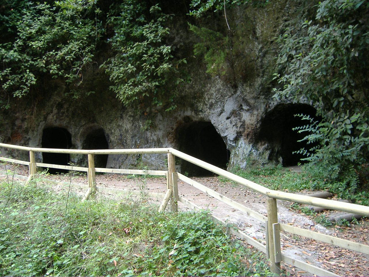
“Viñátigos Centenarios” Loop Trail
GTE-LL-01Hiking
- Distance
- 1.0 km
- Difficulty
- Low
- Elevation Gain
- 80 m
- Max Altitude
- 872 m
- Min Altitude
- 814 m
- Municipality
- Tacoronte
- Start
- Centro de Información Patrimonial de Agua García
- End
- Centro de Información Patrimonial de Agua García
- Type
- 1
Protected area: Paisaje Protegido de Las Lagunetas
Route data from the official Cabildo de Tenerife trail network.All Tenerife Routes