

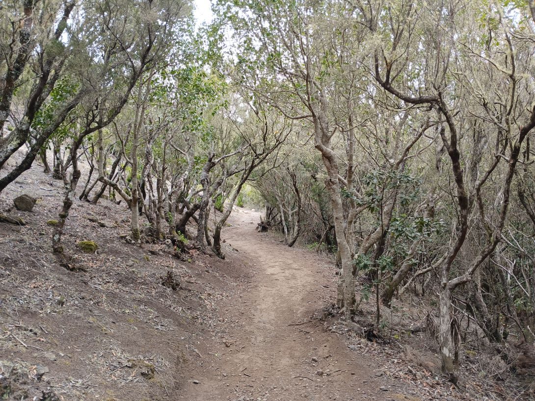
El Palmar – Baracán Loop Trail via Teno Alto
PRT-15Hiking
- Distance
- 9.7 km
- Difficulty
- High
- Elevation Gain
- 776 m
- Max Altitude
- 975 m
- Min Altitude
- 530 m
- Municipality
- Buenavista del Norte
- Start
- Centro de Visitantes Los Pedregales, Parque Rural de Teno, Carretera de Buenavista (TF-436), km 6.
- End
- Centro de Visitantes Los Pedregales, Parque Rural de Teno, Carretera de Buenavista (TF-436), km 6.
- Type
- 1
Protected area: Parque Rural Teno
Route data from the official Cabildo de Tenerife trail network.All Tenerife Routes