

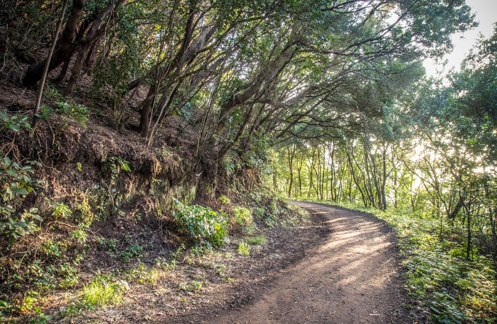
Pista de las Hiedras Adapted and Accessible Trail
SA-PRA-02Hiking
- Distance
- 0.9 km
- Elevation Gain
- 28 m
- Max Altitude
- 855 m
- Min Altitude
- 831 m
- Municipality
- La Laguna
- Start
- Cruce del Moquinal, Camino de El Batán (TF-143), kilómetro 0,4
- End
- Pista Las Hiedras
- Type
- 4
Protected area: Parque Rural de Anaga
Route data from the official Cabildo de Tenerife trail network.All Tenerife Routes