

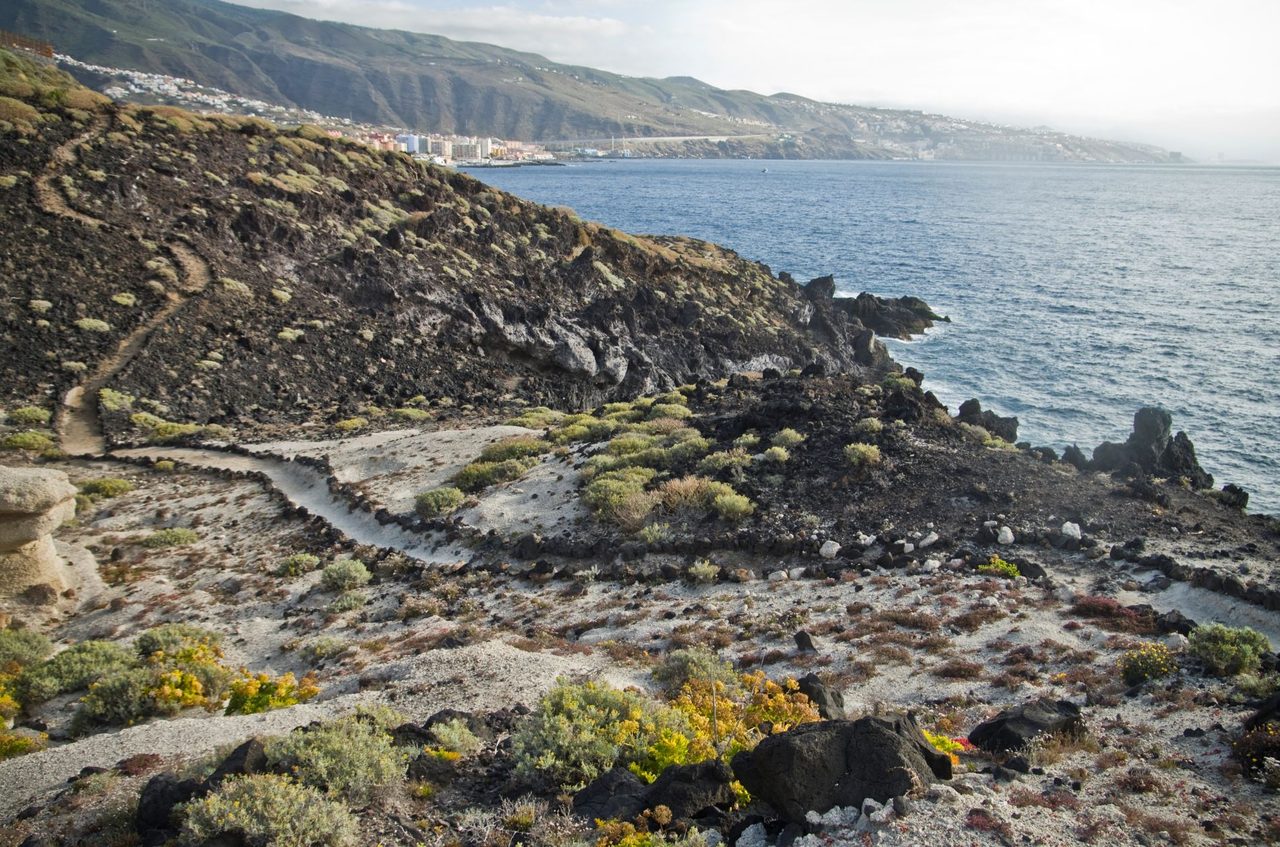
SL TF 292 Samarines
SL-TF 292Hiking
- Distance
- 2.2 km
- Difficulty
- Low
- Elevation Gain
- 172 m
- Max Altitude
- 38 m
- Min Altitude
- 1 m
- Municipality
- Candelaria
- Start
- Plaza de la Patrona de Canarias (Candelaria)
- End
- Plaza de Playa de la Viuda
- Type
- 4
Route data from the official Cabildo de Tenerife trail network.All Tenerife Routes