

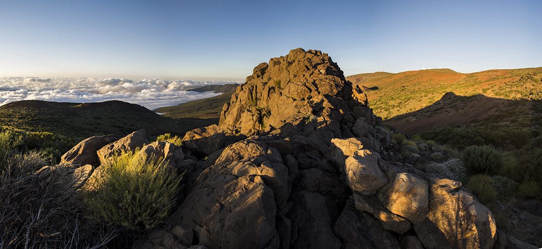
Caramujo Accessible Trail
SA-PNT-05Hiking
This accessible trail runs along a flat path from Roque del Caramujo viewpoint to the base of the Roque.
- Distance
- 0.2 km
- Difficulty
- Low
- Elevation Gain
- 5 m
- Max Altitude
- 2219 m
- Min Altitude
- 2215 m
- Municipality
- La Orotava
- Start
- Mirador del Roque del Caramujo
- End
- Roque Caramujo
- Type
- 4
Protected area: Parque Nacional del Teide
Route data from the official Cabildo de Tenerife trail network.All Tenerife Routes