

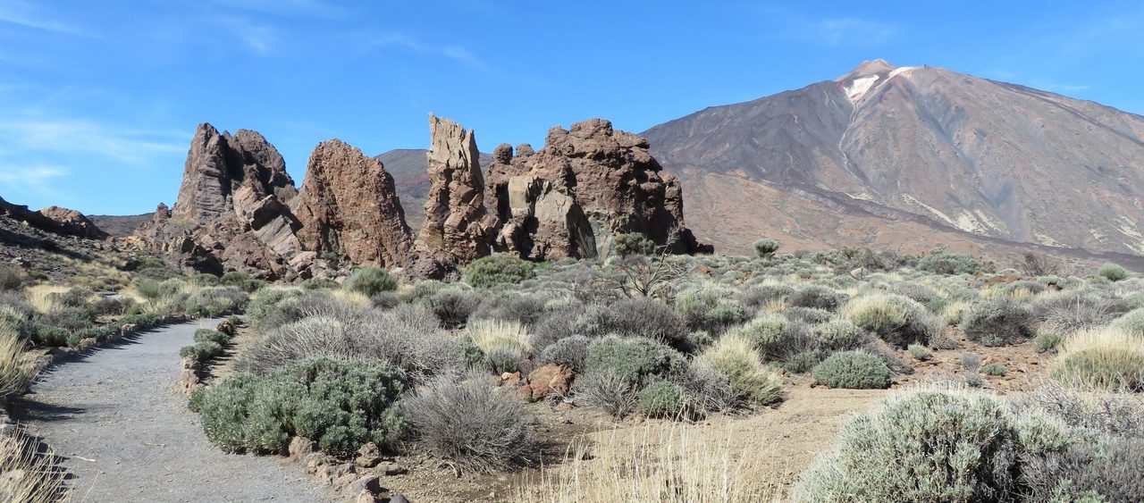
Roques de García Accessible Trail
SA-PNT-03Hiking
This accessible trail starts at La Ruleta viewpoint and runs alongside the Roques de García.
- Distance
- 1.0 km
- Difficulty
- Low
- Elevation Gain
- 24 m
- Max Altitude
- 2144 m
- Min Altitude
- 2134 m
- Municipality
- La Orotava
- Start
- La Ruleta, Pk 46,5 de la carretera TF-21
- End
- Sendero nº3 Roques de García
- Type
- 4
Protected area: Parque Nacional del Teide
Route data from the official Cabildo de Tenerife trail network.All Tenerife Routes