

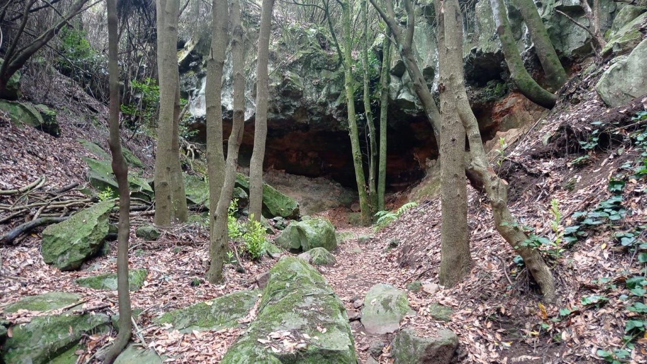
SL TF 151.1 Ruigómez - San José de Los Llanos Recreational Area
SL-TF 151.1Hiking
- Distance
- 1.8 km
- Difficulty
- Low
- Elevation Gain
- 136 m
- Max Altitude
- 1116 m
- Min Altitude
- 989 m
- Municipality
- El Tanque
- Start
- Sendero SL-TF-151 Ruigómez-Erjos
- End
- San José de Los Llanos
- Type
- 2
Protected area: Reserva Natural Especial del Chinyero
Route data from the official Cabildo de Tenerife trail network.All Tenerife Routes