

Skip To Content
Tenerife
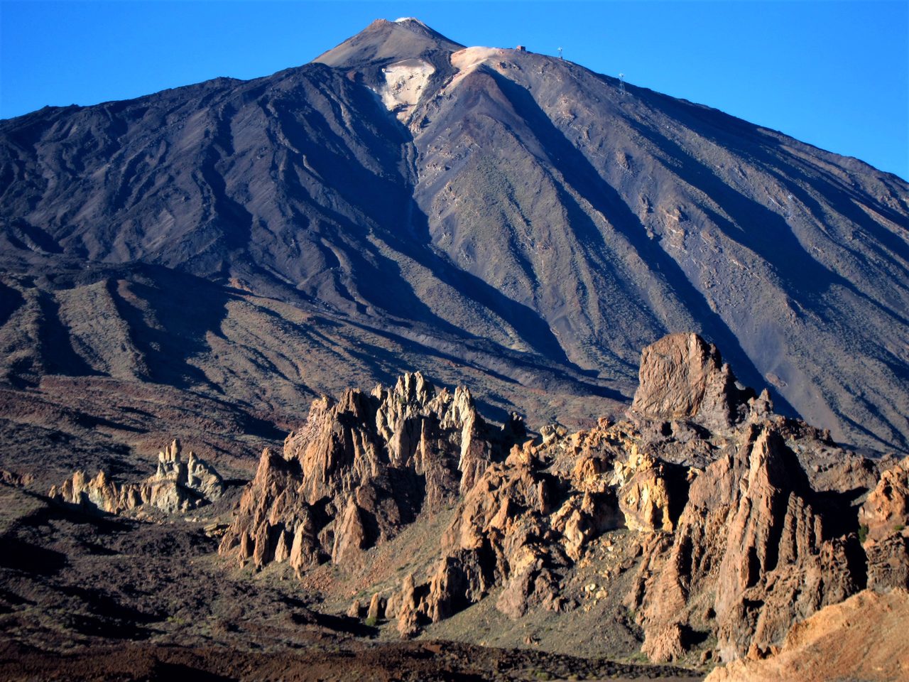
Roques de García climbing area

Roques de García climbing area

Climbing
Interactive map. Green marks the start, orange the end.

Open In Map

Distance
3.7 km
Elevation Gain
0 m
Max Altitude
0 m
Min Altitude
0 m
Municipality
La Orotava

Protected area: Parque Nacional El Teide

Route data from the official Cabildo de Tenerife trail network.All Tenerife Routes

Choose Your Island

IslandCat Insider Pass

Tenerife, live.

Curated places, live skies and seas, a pocket guide.

Natural Voice Tour Guide

Coming Soon

The Insider Pass is not on sale yet.