

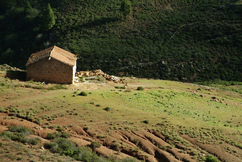
PR TF 71.2 Ifonche – La Quinta (Camino de Ifonche)
PR TF 71.2Hiking
- Distance
- 6.5 km
- Difficulty
- High
- Elevation Gain
- 425 m
- Max Altitude
- 1128 m
- Min Altitude
- 930 m
- Municipality
- Adeje
- Start
- Restaurante El Dornajo, Carretera TF 567, Ifonche y Benítez
- End
- Calle Santa Margarita, La Quinta, Adeje
- Type
- 4
Protected area: Paisaje Protegido de Ifonche,Parque Natural de Corona Forestal,Reserva Natural Especial del Barranco del Infierno
Route data from the official Cabildo de Tenerife trail network.All Tenerife Routes