

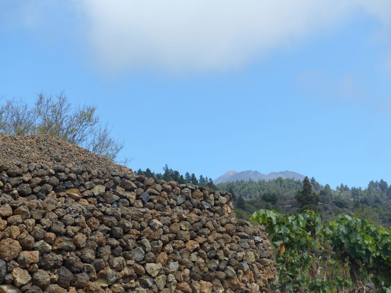
PR TF 69 Chío - Vera de Erques
PR-TF 69Hiking
This trail follows part of the historic Camino Real del Sur, once the main thoroughfare on the south of the island, passing through some fantastic examples of r
- Distance
- 15 km
- Difficulty
- High
- Elevation Gain
- 1262 m
- Max Altitude
- 1110 m
- Min Altitude
- 686 m
- Municipality
- Guía de Isora
- Start
- Chío (Pk 33 de la carretera TF-82)
- End
- Vera de Erques (Pk 11 de la carretera TF-465)
- Type
- 4
Protected area: Monumento Natural de La Montaña Tejina, Parque Natural de Corona Forestal
Route data from the official Cabildo de Tenerife trail network.All Tenerife Routes