

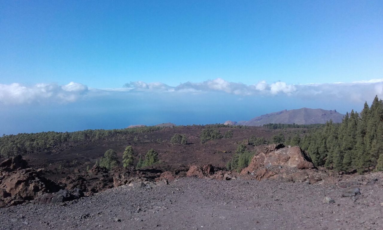
PR TF 43.6 Los Poleos Viewpoint – Chinyero
PR TF 43.6Hiking
- Distance
- 1.3 km
- Difficulty
- Low
- Elevation Gain
- 54 m
- Max Altitude
- 1471 m
- Min Altitude
- 1437 m
- Municipality
- Santiago del Teide
- Start
- Mirador de Los Poleos, Carretera Chío - Boca Tauce (TF-38), km 15,6
- End
- Sendero PR TF 43 Garachico – Chinyero, a la altura de la Pista Montaña de la Cruz
- Type
- 2
Protected area: Parque Natural de Corona Forestal,Reserva Natural Especial del Chinyero
Route data from the official Cabildo de Tenerife trail network.All Tenerife Routes