

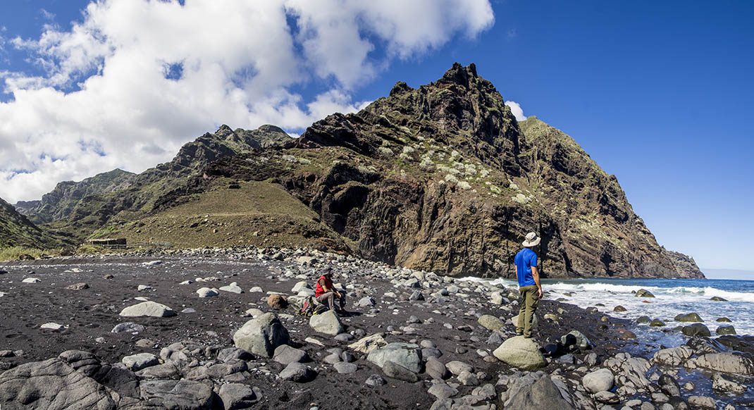
PR TF 08 Afur - Taganana - Afur
PR-TF 08Hiking
This demanding trail with very steep sections sets out from Afur to reach Taganana before returning in an interesting loop.
- Distance
- 14 km
- Difficulty
- Medium
- Elevation Gain
- 1603 m
- Max Altitude
- 861 m
- Min Altitude
- 4 m
- Municipality
- Santa Cruz de Tenerife
- Start
- Taganana
- End
- Afur
- Type
- 1
Protected area: Parque Rural de Anaga
Route data from the official Cabildo de Tenerife trail network.All Tenerife Routes