

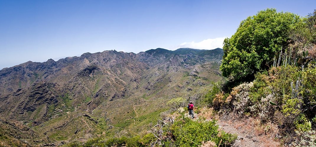
PR TF 05 Chamorga - Igueste de San Andrés
PR-TF 05Hiking
This route in the Anaga mountains leads you through hamlets and laurel forests from the summit to Tenerife’s coast.
- Distance
- 9.9 km
- Difficulty
- Medium
- Elevation Gain
- 694 m
- Max Altitude
- 642 m
- Min Altitude
- 17 m
- Municipality
- Santa Cruz de Tenerife
- Start
- Igueste de San Andrés
- End
- Chamorga
- Type
- 4
Protected area: Parque Rural de Anaga, Reserva Natural Integral de Ijuana
Route data from the official Cabildo de Tenerife trail network.All Tenerife Routes