

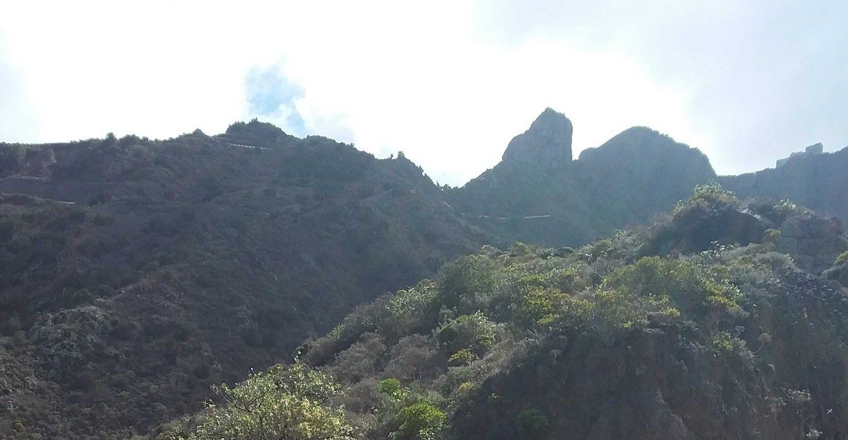
PR TF 04 El Bailadero - Taganana
PR-TF 04Hiking
The route begins with some steps that lead up into the laurel forest, from El Bailadero, opposite the Rosa Sosa rest area.
- Distance
- 3.1 km
- Difficulty
- Medium
- Elevation Gain
- 110 m
- Max Altitude
- 682 m
- Min Altitude
- 162 m
- Municipality
- Santa Cruz de Tenerife
- Start
- El Bailadero
- End
- Taganana
- Type
- 4
Protected area: Parque Rural de Anaga
Route data from the official Cabildo de Tenerife trail network.All Tenerife Routes