

PNT 37 Cerrillar - Carnicería
PNT-37Hiking
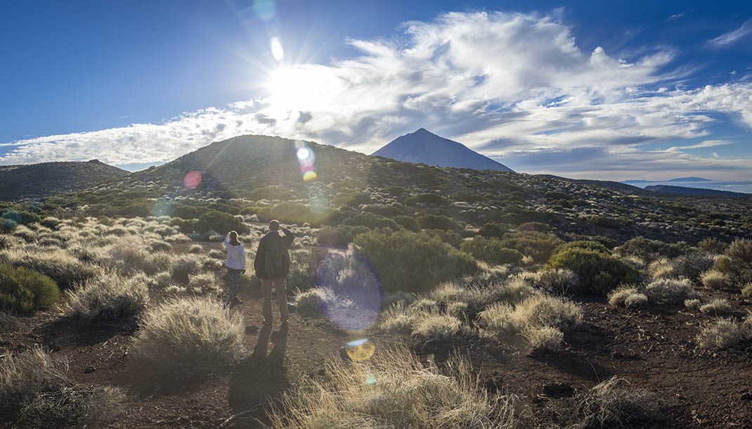
This trail offers breathtaking views of the Orotava Valley, when it is not covered by a sea of clouds, as you walk among the volcanoes of the Caramujo sector.
- Distance
- 3.0 km
- Difficulty
- Low
- Elevation Gain
- 173 m
- Max Altitude
- 2328 m
- Min Altitude
- 2214 m
- Municipality
- Fasnia, La Orotava
- Start
- Sendero nº 2 en el lomo del Cerrillar
- End
- Sendero nº 20 en la Montaña de la Carnicería
- Type
- 4
Protected area: Parque Nacional del Teide
Route data from the official Cabildo de Tenerife trail network.All Tenerife Routes