

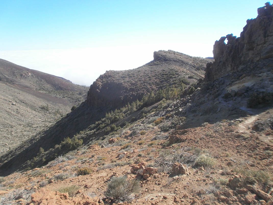
PNT 31.2 Ramal Degollada del Sombrero de Chasna
PNT-31.2Hiking
Spur trail that takes you into El Sombrero de Chasna, a short tongue of lava that forms one of the most distinctive peaks in the south of the island.
- Distance
- 1.1 km
- Difficulty
- High
- Elevation Gain
- 141 m
- Max Altitude
- 2406 m
- Min Altitude
- 2273 m
- Municipality
- Vilaflor
- Start
- Sendero nº 31 Cumbres de Ucanca
- End
- Sendero nº 31 Cumbres de Ucanca
- Type
- 2
Protected area: Parque Nacional del Teide, Parque Natural de Corona Forestal
Route data from the official Cabildo de Tenerife trail network.All Tenerife Routes