

PNT 28 Chafarí
PNT-28HikingPermit · Free
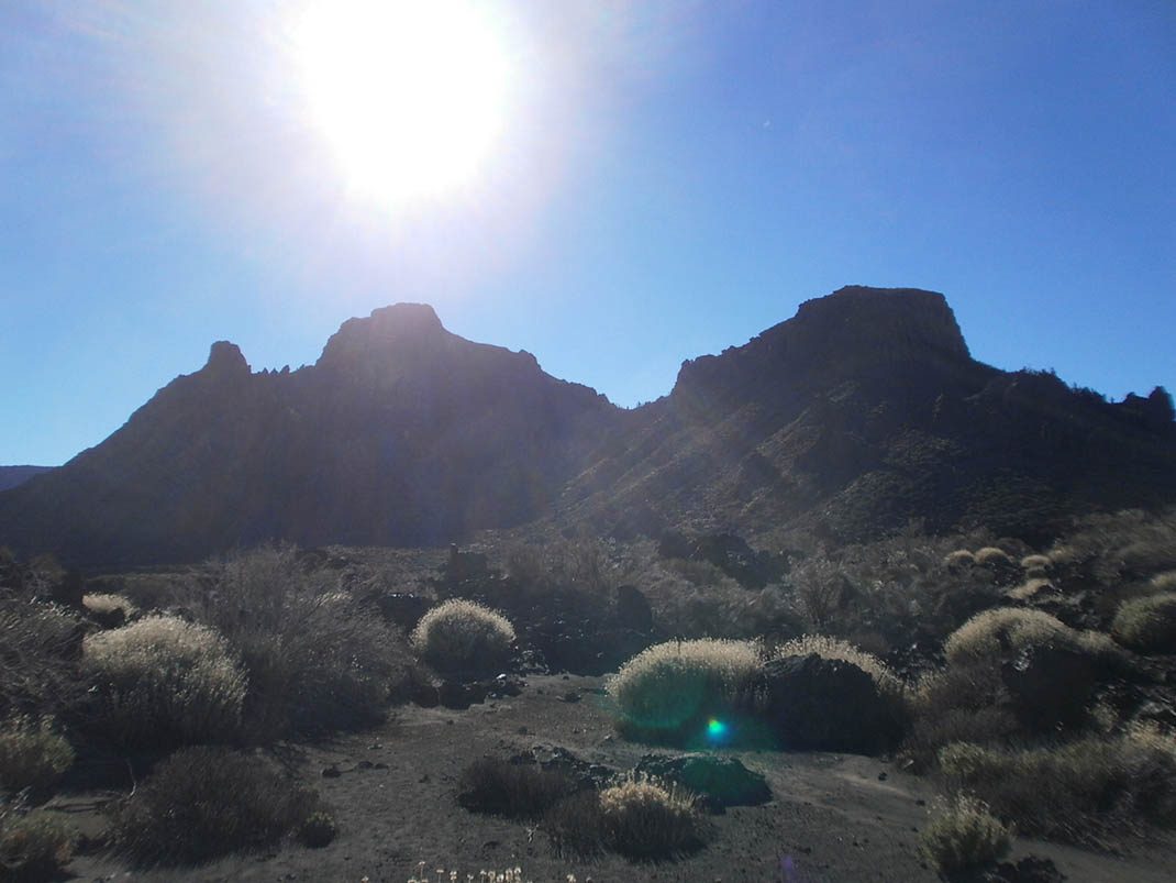
This trail climbs the slopes of Pico Viejo from the TF-38 road, just over a kilometre from Boca Tauce.
- Distance
- 6.6 km
- Difficulty
- Medium
- Elevation Gain
- 756 m
- Max Altitude
- 2746 m
- Min Altitude
- 2035 m
- Municipality
- La Orotava
- Start
- PK 0,6 de la carretera TF-38
- End
- Sendero nº 9 en la zona superior de las Narices del Teide
- Type
- 4
Protected area: Monumento Natural del Teide, Parque Nacional del Teide
Route data from the official Cabildo de Tenerife trail network.All Tenerife Routes