

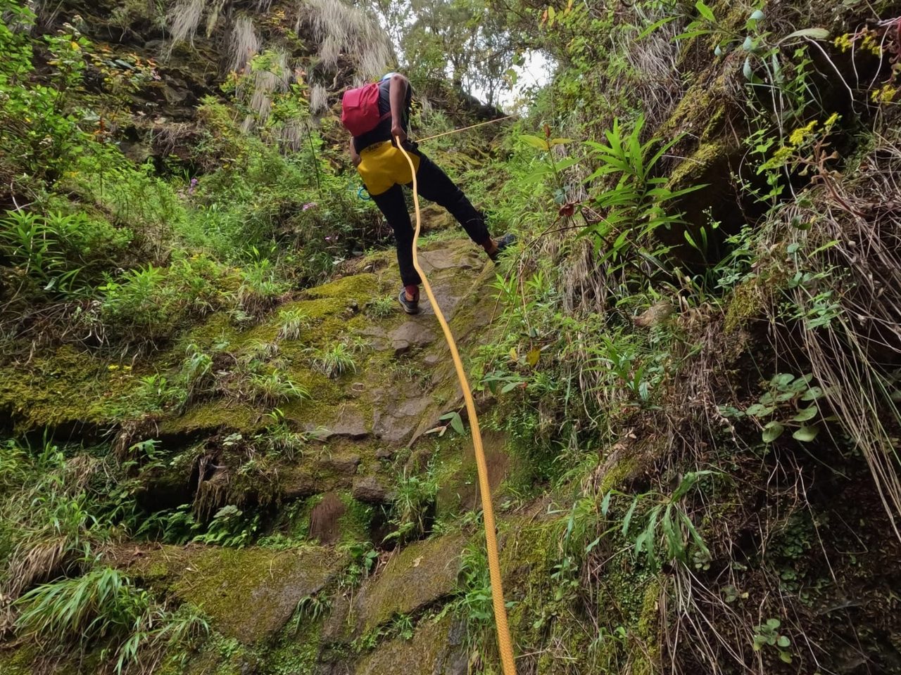
Chimoche ravine descent, La Orotava
Canyon Descent
- Distance
- 1.0 km
- Difficulty
- Medium
- Elevation Gain
- 0 m
- Max Altitude
- 1422 m
- Min Altitude
- 1216 m
- Municipality
- La Orotava
Protected area: Parque Natural Corona Forestal
Route data from the official Cabildo de Tenerife trail network.All Tenerife Routes