

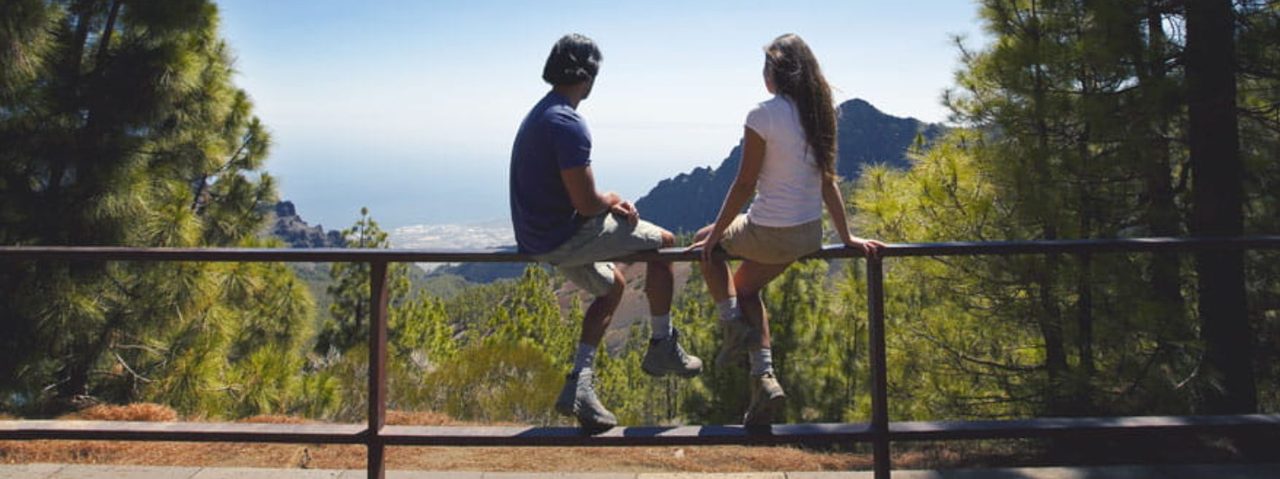
Camino a Candelaria (La Crucita - Arafo)
CC-02.2Hiking
- Distance
- 7.2 km
- Difficulty
- Medium
- Elevation Gain
- 23 m
- Max Altitude
- 1970 m
- Min Altitude
- 509 m
- Municipality
- Arafo
- Start
- La Crucita (PK 30 de la carretera TF-24).
- End
- Cumbres de Arafo
- Type
- 4
Protected area: Paisaje Protegido Siete Lomas, Parque Natural Corona Forestal
Route data from the official Cabildo de Tenerife trail network.All Tenerife Routes