

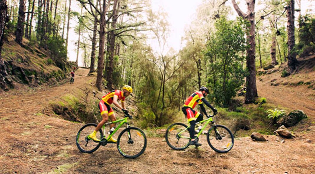
BC 2 Monte de La Esperanza
BC-2Cycling & Horse Riding
Given its proximity to urban centres, this route through pine forests and monteverde has become a popular natural spot.
- Distance
- 6.3 km
- Elevation Gain
- 524 m
- Max Altitude
- 1417 m
- Min Altitude
- 1033 m
- Municipality
- Candelaria, El Rosario
- Start
- Zona de Acampada Las Raíces
- End
- La Lagunetas
- Type
- 4
Protected area: Paisaje Protegido de Las Lagunetas
Route data from the official Cabildo de Tenerife trail network.All Tenerife Routes