

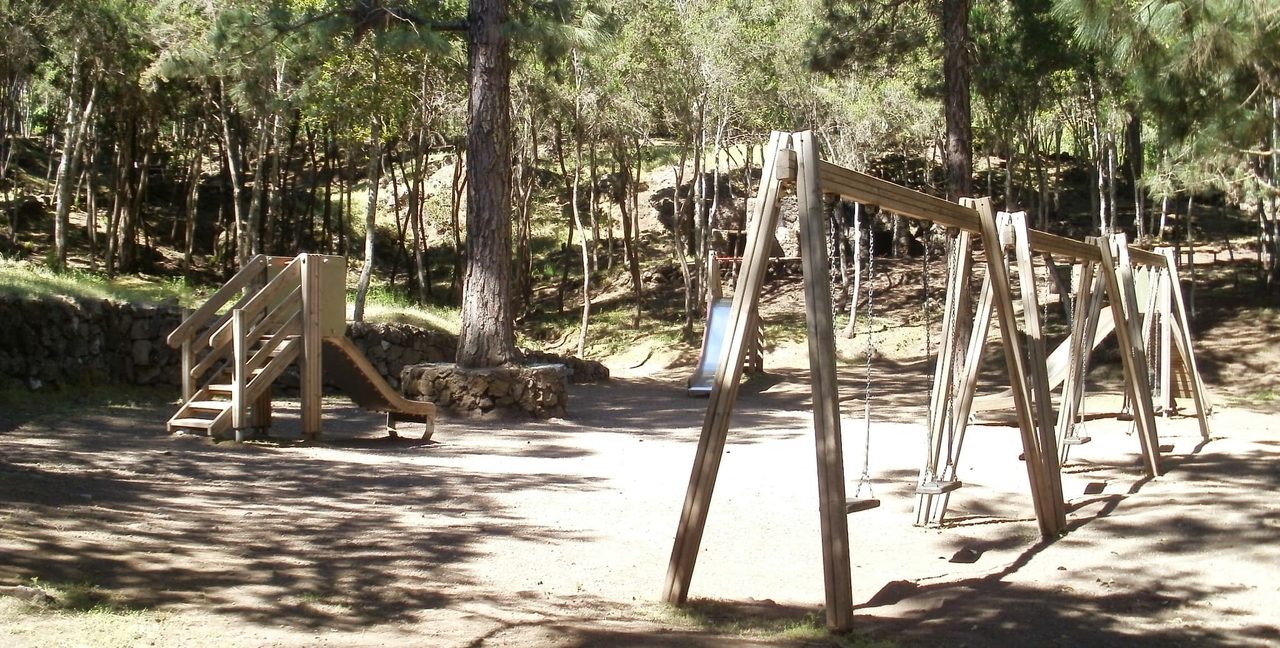
BC 1.10 La Tahona
BC-1.10Cycling & Horse Riding
- Distance
- 0.4 km
- Elevation Gain
- 0 m
- Max Altitude
- 1099 m
- Min Altitude
- 1072 m
- Municipality
- San Juan de la Rambla
- Start
- Cruce con BC-1 en km 60,118
- End
- La Tahona
- Type
- 2
Protected area: Parque Natural de Corona Forestal
Route data from the official Cabildo de Tenerife trail network.All Tenerife Routes