

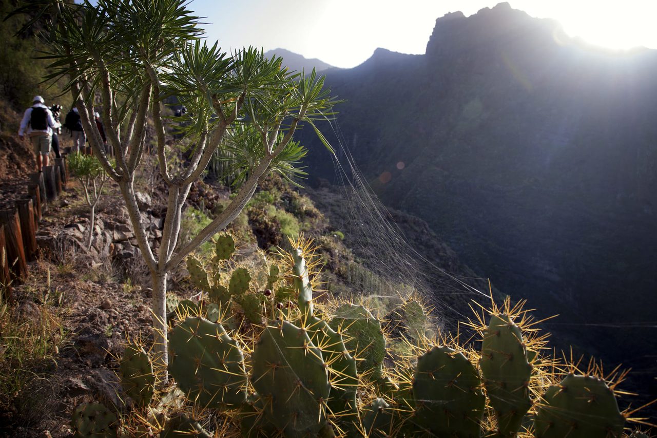
Barranco del Infierno Trail
S-BI-3Hiking
- Distance
- 3.0 km
- Difficulty
- Medium
- Elevation Gain
- 522 m
- Max Altitude
- 613 m
- Min Altitude
- 351 m
- Municipality
- Adeje
- Start
- Adeje (final C/ de Los Molinos)
- End
- Cascada
- Type
- 4
Protected area: Reserva Natural Especial del Barranco del Infierno
Route data from the official Cabildo de Tenerife trail network.All Tenerife Routes