

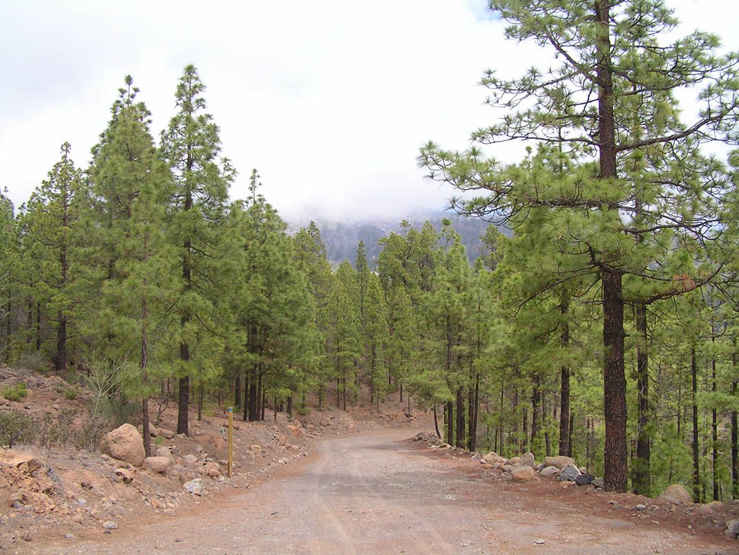
VM 21. Pista Madre del Agua
VM-21Motor Vehicles
- Distance
- 8.5 km
- Elevation Gain
- 368 m
- Max Altitude
- 1712 m
- Min Altitude
- 1586 m
- Municipality
- Granadilla de Abona, Vilaflor
- Start
- P.K. 65,6 de la carretera TF-21 La Orotava-Granadilla
- End
- Campamento Madre del Agua
Protected area: Parque Natural de Corona Forestal
Route data from the official Cabildo de Tenerife trail network.All Tenerife Routes