

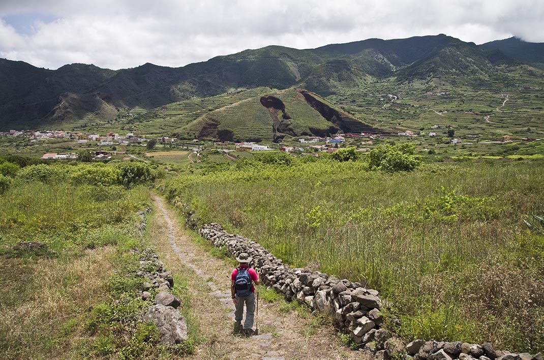
PR TF 57 Callejón de Teno
PR-TF 57Piesze wycieczki
Szlak Callejón de Teno to stara camino real ("droga królewska" lub główna trasa wyspy), która łączyła El Palmar i Teno Alto.
- Dystans
- 3.9 km
- Trudność
- Średnia
- Przewyższenie
- 453 m
- Wysokość maksymalna
- 830 m
- Wysokość minimalna
- 530 m
- Gmina
- Buenavista del Norte
- Początek
- Carretera Buenavista - TF-436
- Koniec
- Teno Alto
- Typ
- 4
Obszar chroniony: Parque Rural de Teno
Dane szlaków z oficjalnej sieci szlaków Cabildo de Tenerife.Wszystkie szlaki Teneryfy