

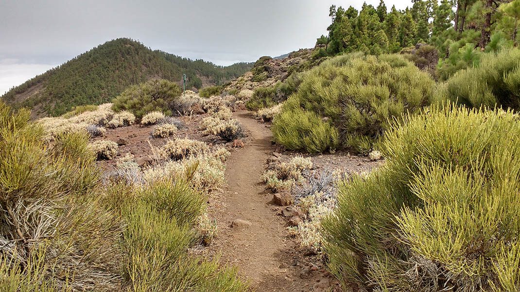
PNT 17 Igueque
PNT-17Piesze wycieczki
Ten szlak oferuje kontrastujące widoki południowej części wyspy, z Doliną Güimar jako głównym elementem, i północnej części z spektakularną Orot
- Dystans
- 2.7 km
- Trudność
- Średnia
- Przewyższenie
- 72 m
- Wysokość maksymalna
- 2240 m
- Wysokość minimalna
- 1980 m
- Gmina
- Arafo, Güímar, La Orotava
- Początek
- PK 33, 3 de la carretera TF-24
- Koniec
- La Crucita (PK 30 de la carretera TF-24)
- Typ
- 4
Obszar chroniony: Parque Nacional del Teide, Parque Natural de Corona Forestal
Dane szlaków z oficjalnej sieci szlaków Cabildo de Tenerife.Wszystkie szlaki Teneryfy