

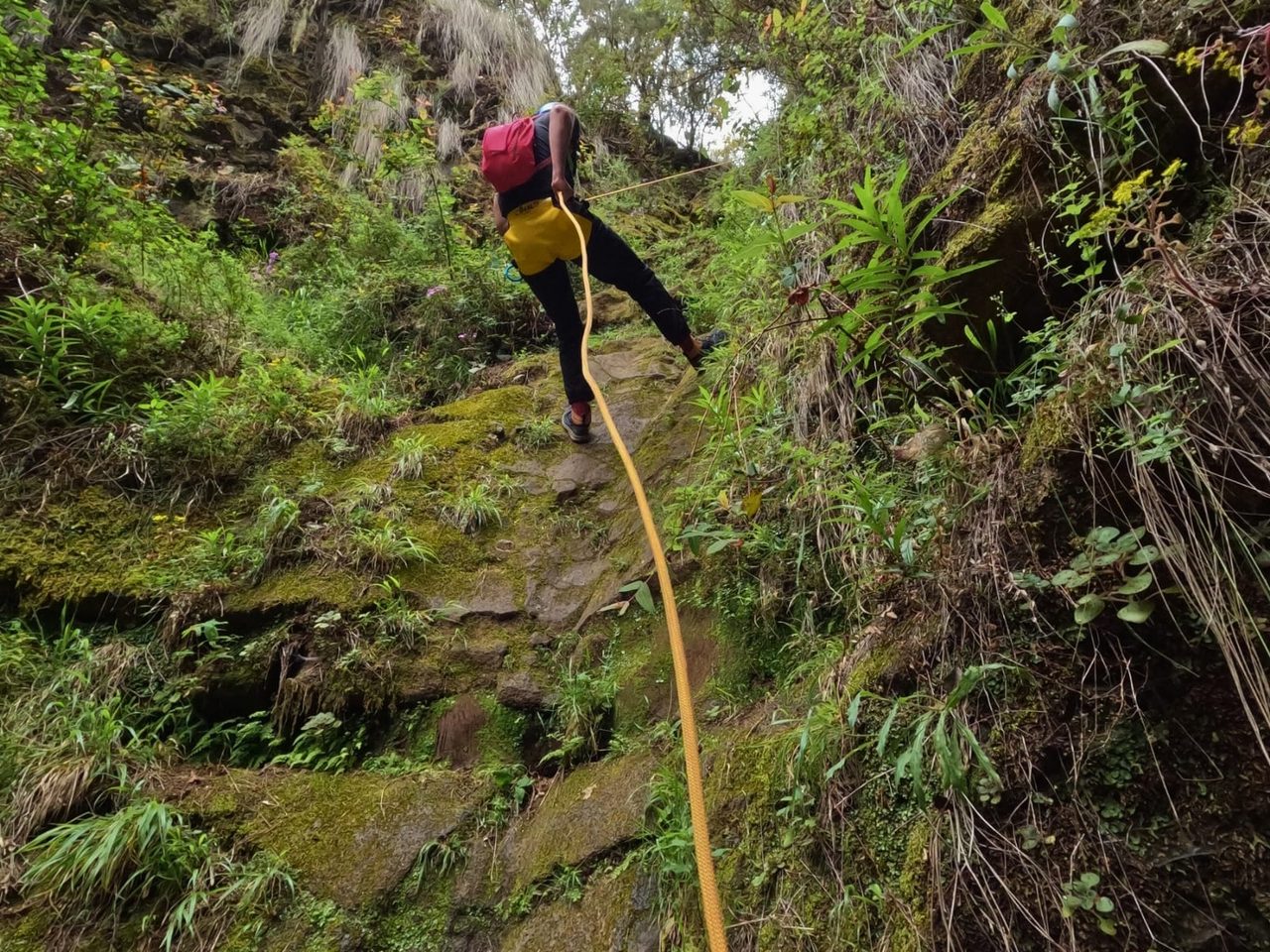
El Lerito ravine descent, La Orotava
Zstępowanie kanionów
- Dystans
- 0.4 km
- Trudność
- Średnia
- Przewyższenie
- 0 m
- Wysokość maksymalna
- 1216 m
- Wysokość minimalna
- 1121 m
- Gmina
- La Orotava
Obszar chroniony: Parque Natural Corona Forestal
Dane szlaków z oficjalnej sieci szlaków Cabildo de Tenerife.Wszystkie szlaki Teneryfy